A dated record of the damage, made for your site and your incident.
Heritage Conflict Damage tasks very-high-resolution imagery over a protected site once an incident is reported. You get a before and after pair, a classification of what changed and the coordinates, ready for your documentation file.
Schematic of the two passes in a record and the incident date between them. No real site, date or coordinate is shown.
GSD
≤0.5 m (VHR)
Spectral
RGB
Platform
VHR satellite / aerial
Cadence
Event driven
01
The week after the report
Incident log
A report comes in that a protected site has been hit. You open its file: the listing record, the perimeter, the older photographs, whatever condition record exists. Nobody can get to the site. Access is refused, or unsafe, or weeks away.
So you collect what is public. Photographs and video from local people, a news clip, a frame from a satellite viewer, a screenshot a colleague forwarded. None of it was taken for your file.
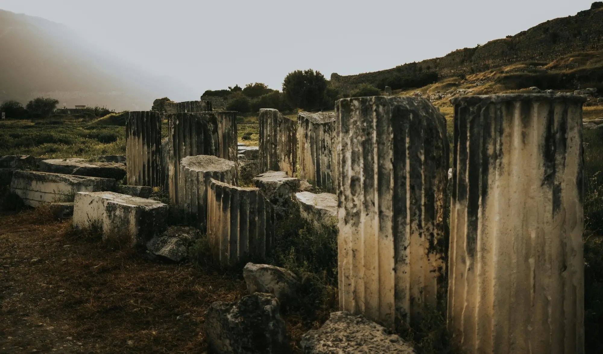
Column stumps at an ancient site, photographed from the ground. Scenery, not imagery from a record.
You don't know the camera angle, the dates are loose, and someone typed the coordinates by hand. The before image is whichever frame happened to be public, on whatever date it was taken. You end up with a folder of screenshots and a paragraph in the report explaining what is missing and why. Your reader, a programme director or a lawyer, asks which image is from which day, and you can't always say.
What changes is where the imagery comes from. It is tasked for your site and your incident date, and the record comes back built for that site.
02
What is in the record
Record contents
2.1Image pair
Before and after image pair
The last usable pass before the incident date and the first usable pass after it, each carrying its own capture date, cropped to your site perimeter. Delivered as images for the report and as georeferenced files for your GIS.
2.2GeoPackage
Change classification
The changed areas inside the perimeter, each with a land-cover class: standing structure, rubble, bare ground, vegetation. It answers which parts of the site look different between the two dates.
2.3Table
Coordinates and area extent
Each changed area with its coordinates and its extent, so a line in your damage report can point to a place on the map.
2.4PDF and data file
Structured record
One dated record per site and incident, with the incident date, both capture dates, the baseline gap and the classification. It attaches to your documentation file. Operational: you can register a site and get a record now.
03
How it works
Sequence
01
Register the site and the report
Send the site perimeter and the incident date from the report. Say what the documentation file needs the record to look like.
02
Imagery is tasked
We check what recent and archive passes exist over the site, and task a new one where needed. Cloud and satellite revisit set the timing.
03
Change is classified
The after image is compared with the last known-good pass and the changed areas are classified.
04
The record comes back
You receive the pair, the classification, the coordinates and the dates in one record. A covered pass is reported as unusable, never as a finding.
04
Where it fits in your workflow
Documentation file
Feeds the file, doesn't replace the ground
The record sits beside field reporting and open-source verification. It gives you a dated imagery observation to attach when the ground can't be reached yet. Your condition record, your site visits and your conclusions stay yours.
Use it for the first account of an incident, to back a line in a damage report, or to show a donor or a legal team what the site looked like on two dated passes. When a field team does reach the site, their findings go in the same file next to it.
05
Limits
Constraints
L1Cloud cover
Optical imagery needs clear sky. A covered pass is reported as unusable. It says nothing about the site, and it is never a result of no damage.
L2Timing is not promised
How soon after an incident a pass exists depends on satellite revisit and weather over the site. We report what is available. There is no fixed turnaround.
L3Resolution floor
At 0.5 m a pixel is about 50 centimetres across. Collapsed roofs, walls and whole buildings show. Carved surfaces, painted walls, interiors, and damage under an intact roof do not.
L4The baseline gap
If the last usable pass before the incident is old, the record shows a longer gap between the two dates, and it says so. Thin archives make for wider gaps.
L5Ground change only
The record documents what changed on the ground. It does not say who did it, how, or why.
06
Who it's for
Scope
For
Documentation officers at heritage protection bodies
Legal investigators building a record of damage to protected sites
Sites where ground access isn't possible or isn't safe yet
Not for
A legal opinion on admissibility or on any outcome
Attributing damage to a party
Damage to carved, painted or interior surfaces
Ongoing monitoring programmes across many sites (talk to us first)
07
Questions before you register a site
Queries
Q.01Is the record admissible as evidence?
That is a call for your legal team. We provide a dated, coordinate-stamped observation, not a legal opinion.
Q.02How soon after an incident can imagery be tasked?
It depends on satellite revisit and weather over the site. We report what is actually available.
Q.03Does cloud cover delay this?
Yes. Optical imagery needs clear sky, and a covered pass is reported as unusable.
Q.04Can it show who caused the damage?
No. It records what changed on the ground. Actors and intent sit outside what imagery can show.
Q.05What if there is no pre-incident imagery on file?
We source the most recent usable earlier pass. An older or thinner archive means a longer baseline gap, and the record states it.
Q.06How do we check it against our own file?
Take a site where you already hold ground photographs or a field report, send the perimeter and the incident date, and compare what the record shows with what you know.
Q.07What do we send and what comes back?
The site perimeter and the incident date. You get the image pair, the classification, the coordinates and the dates.
Q.08Who owns the imagery and the record?
Imagery licence and ownership terms are agreed in writing when you get started. If your legal team needs them earlier, ask.
Q.09How is it bought?
Pricing depends on the site, the imagery used and how many records you need. Tell us your case and we'll scope it.
Live record
Got a report and a site to document?
Send us a perimeter and an incident date. We'll tell you what the imagery can show.